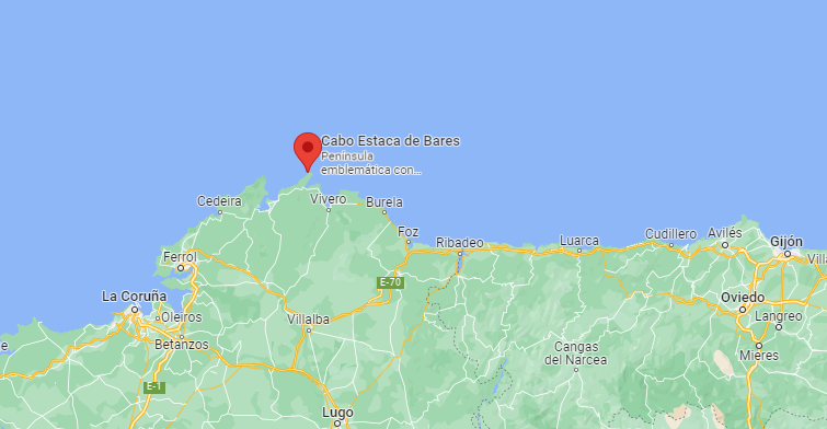
The cape known as Estaca de Bares takes the cake and without any discussion. It is here where the waters of the immense Atlantic Ocean and the modest Cantabrian Sea truly “come together”.
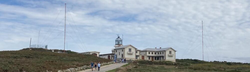
By enjoying this privileged northern location, the cape was used from the most diverse times as a strategic point, especially military. Proof of this are the ruins that are preserved very close to the cape of American and British bases that, together with the French, were in charge of guarding this point. The facilities were abandoned in the last decade of the previous century. It is also strategic due to its nature, since this area is a passageway for many migratory birds and many other sedentary ones.
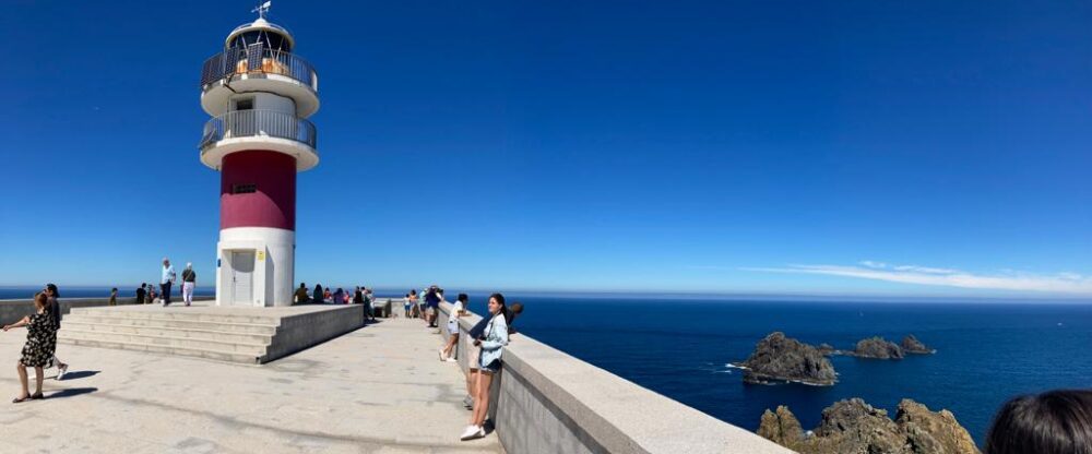
The maximum height of the peninsula that forms the cape is 209 m, a curve known as the Traffic Light. Towards the northwest is the centennial lighthouse that is 89 m high. The first lighthouse in Estaca de Bares came into operation in 1850. Already in 1939 it would be electrified and a siren and a radio beacon would be installed. The current tower measures 33 m and has a range of 25 nautical miles.
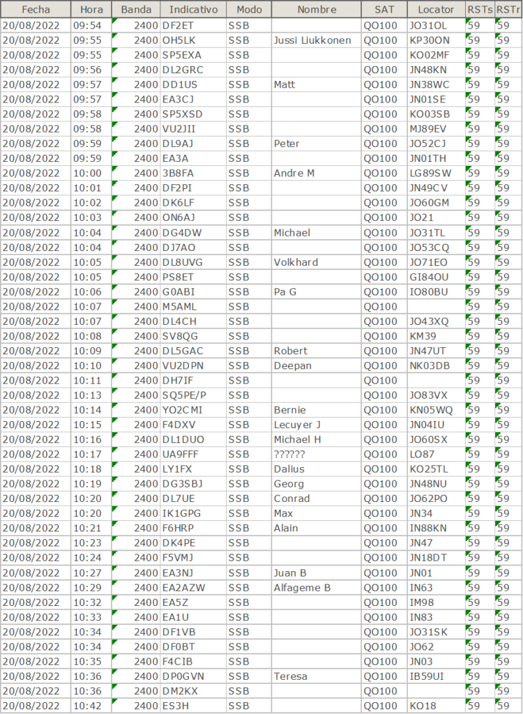
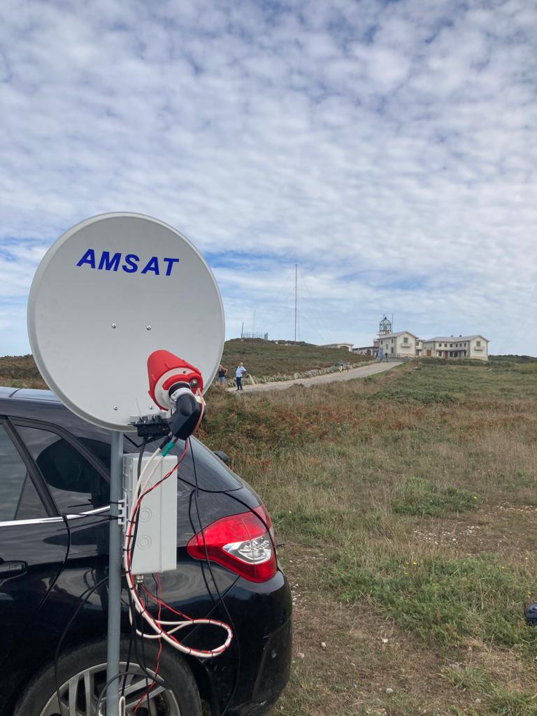
ACTIVATION QO-100 20-08-2022
DATA OF LIGHTHOUSE
International Code: D1686
Marine Traffic: 1000007469
NGA: 113-244
ARLHS Code:  SPA-230
Description: cylindrical concrete tower
Height above or ground: 10 meters
Light characteristic: Fl(2) W 7.5s y L0,2 oc1,5 L0,2 oc5,6
Range: 25 nautical miles
Grid Locator: IN53DS
Coordenates: 43°47′09″N 7°41′03″O