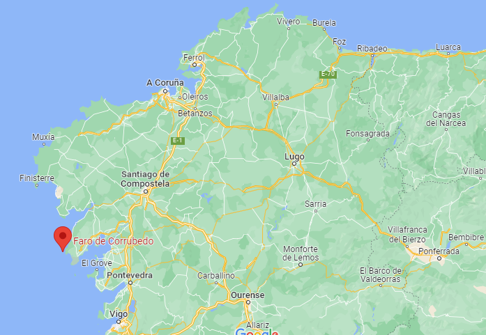
The Corrubedo lighthouse is located at the southern entrance to the Muros estuary, a very dangerous area for navigation through the bays spread over a large area and exploring surface storms. From its vantage point you can see the lights of Fisterra and Cíes.
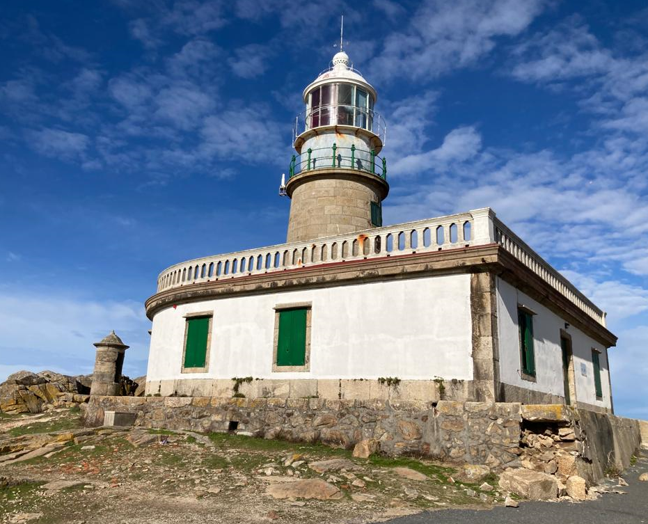
The construction of the lighthouse began in May 1852, and it was inaugurated on February 20, 1854. With 3rd order optics, white light and a range of 15 thousand.
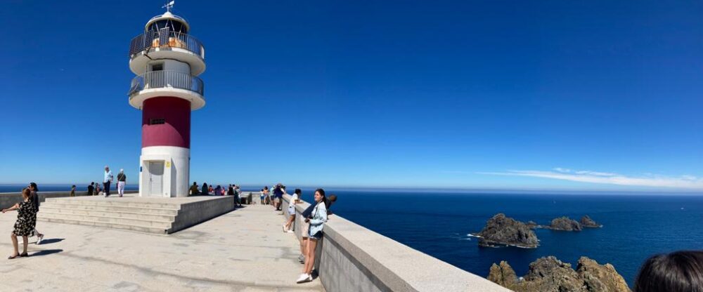
The architect designed the building with a semicircular façade on the sea and rectangular on the land, to recover the effects of storms. The tower, 14 meters high, has the focal plane at 32 meters above sea level.
Various accidents caused by the confusion between its characteristic and the Sálvora lighthouse forced a reform in 1921, in which the optics and the lantern were replaced, and a system of oscillating panels was installed to delimit the openings.
The problem was raised but the sailors continued to confuse it with that of Sálvora, and in 1934 it changed its characteristic to red light, making it electrified in 1935.
It connects with the lighthouse by the road that goes up from Santa Eugenia de Ribeira (Santa Uxía in Galician) and passes through Corrubedo, from where you can visit a gigantic mobile dune integrated into the Natural Park of the Corrubedo Dunar Complex and Lagoas de Carregal and Vixán.
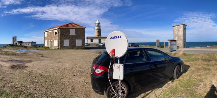
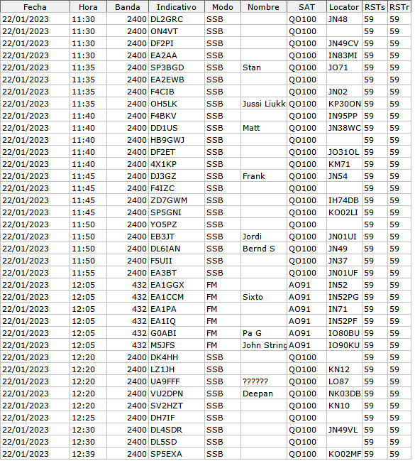
ACTIVATION QO-100 22-01-2023
DATA OF LIGHTHOUSE
International Code: D-1794
ARHLS Code:  SPA-012
Marinetraffic: 1000007502
Height above or ground: 32 meters
Light characteristic: 	Fl(2+3) WR 20s y, L 0 4 oc 6 L 0 4 oc 2 L 0 4 oc 6
Range: 15 nautical miles
Grid Locator: IN52KN
Coordenates: 42°34′35″N 9°05′25″O